
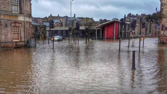

Storm Desmond – described as an ‘extratropical cyclone’ – caused devastating flooding in Lancaster, between December 3 and 8, 2015, which effectively cut off the city from the outside world.
Army trucks were stationed at the Royal Lancaster Infirmary to act as ambulances after flooding cut the city off from the power grid and blocked all but one access route.
A spokesman for Lancashire Fire and Rescue Service said they had 300 calls in a day and attended 200 incidents.
Key areas across Lancaster were flooded including Caton Road, St George’s Quay, Stonewell, Cable Street, with restaurants, businesses and houses impacted.
These pictures from our archives bring back memories of the devastating impact of Storm Desmond.
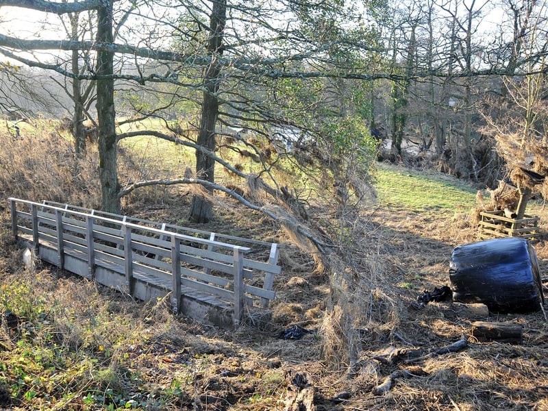
9. Storm Desmond
A footbridge is part of the debris littering a field 50 metres from the river at Low Road, at the Crook O'Lune near Caton. Photo: Rob Lock
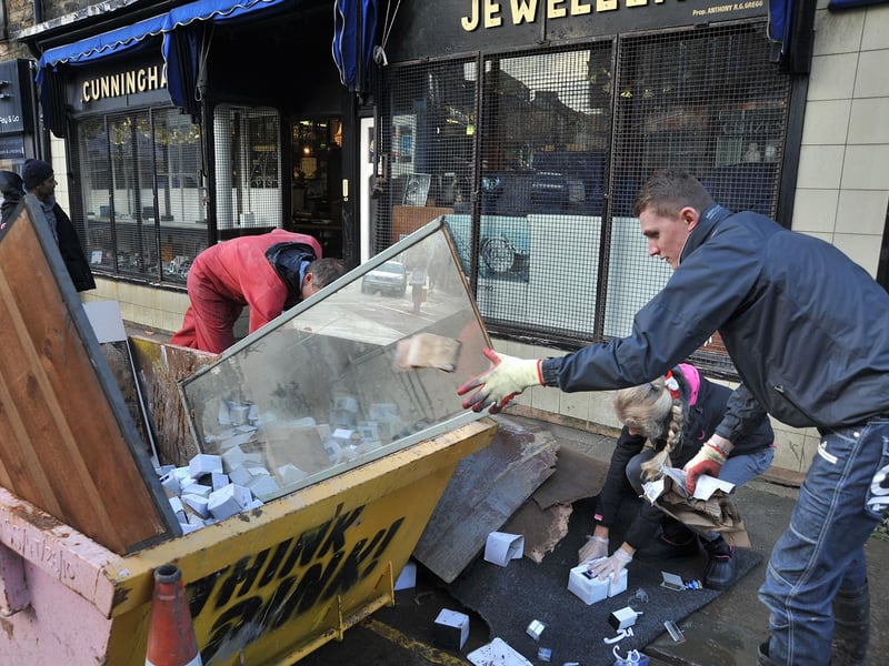
10. Storm Desmond
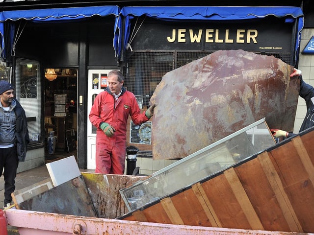
Members of the Gregg family fill a skip with the ruined contents of their business, Cunningham Jewellers, on Chapel Street, Lancaster. Photo: Rob Lock
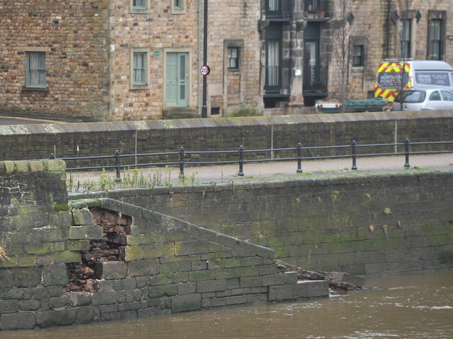
12. Storm Desmond
Members of the Gregg family fill a skip with the ruined contents of their business, Cunningham Jewellers, on Chapel Street, Lancaster. Photo: Rob Lock