Are you rich or poor?


While some neighbourhoods in Lancaster and Morecambe enjoy some of the highest standards of living in the country, the study reveals a huge divide in terms of those who have, and those who have not.
Lancaster and Fleetwood MP Cat Smith said the situation was about to worsen for hundreds of families with more government cuts looming on the horizon.
Advertisement
Hide AdAdvertisement
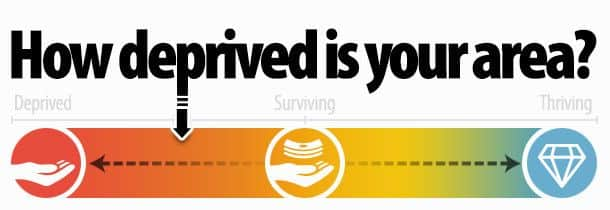
Hide AdYou can see how deprived your area is by searching your postcode: http://dclgapps.communities.gov.uk/imd/idmap.html
Top 20 most deprived places
1. Tendring - around St Osyth and Seawick
2. Blackpool - By Central Pier
3. Blackpool - Around the promenade near North Pier
4. Thanet - Cliftonville West
5. Blackpool - Near the South Pier
6. Tendring - Clacton-on-Sea
7. Blackpool - Between Waterloo Road and St Chad’s Station
8. Coventry - Around Hillmorton Road in Henley
9. Blackpool - Woolman Road and Clinton Avenue
10. Waveney - near South Pier in Lowestoft
11. Blackpool - around Cookson Street
12. Kingston upon Hull - Around St John’s Grove
13. North East Lincolnshire - Around Oxford Street in Grimsby
14. Burnley - Around Tay Street and Howard Street
15. Burnley - Between Belvedere Road and Church Street
16. Mansfield - Around Sandy Lane
17. Blackpool - Around Manchester Square and Rigby Road
18. Blackpool - Around Clevedon Road and Carshalton Road
19. Blackburn with Darwen - Wensley Fold
20. Great Yarmouth - Along the seafront