Putting a name to places and their Lancashire history


The group was set up 15 years ago to research the history of place names throughout the county and involves members studying old maps, tithe records and other documents to see if the names and their spellings, which have sometimes changed over the years, can throw any light on languages spoken in this part of the British Isles many centuries ago.
LPNS spokesperson Jennifer Holt said: “These spellings can show in what language the place was named and also what language it has travelled through. If we have enough examples then it becomes possible to identify areas where particular languages were spoken and so reveal something about Lancashire’s history.”
Pronunciation is another area of interest.


Advertisement
Hide AdAdvertisement
Hide AdThere are three villages within the pre-1974 boundaries of Lancashire called Claughton, one near Garstang, one north of Caton near Lancaster.
The Claughton near Garstang is pronounced “Clyton”, the one near Caton is pronounced “Clafton.”
Jennifer said: “The root of all three names is probably the same, but they have travelled through different languages so are now pronounced differently.”
One place name in north Lancashire which appears in other parts of England is Whittington.
Advertisement
Hide AdAdvertisement
Hide AdThe Lancashire name probably derives from a man called something like ‘Hwita’.
Similarly the other Whittingtons around England probably derive from other Hwitas who lived where the name survives as Whittington.
Misunderstanding over derivation of place names have sometimes caused confusion in local history circles.
Similarly some historical geographers rightly stress that not all old maps are accurate.
Advertisement
Hide AdAdvertisement
Hide AdFor example an old abbey in Einsiedeln, Switzerland, possesses an 16th century atlas with a map of the North West of England showing, in the location of Garstang, a place called ‘Barsange’.
An ancient spelling of Garstang perhaps? No.
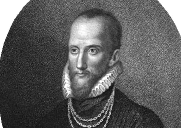
The map had been prepared by Denbigh doctor Humphrey Lhuyd, who sent it to Flemish map engraver Abraham Ortelius of Antwerp. Ortelius was then producing a major atlas called the Theatrum Orbis Terrae (The Theatre of the Orb of the Land), with correspondents from throughout Europe sending him data or maps.
Cartographic historian Dr Bill Shannon, of Preston, suggests Ortelius had difficulty with Humphrey’s writing or spelling, so he probably took a guess at several of the spellings on the Welshman’s maps.
Dr Shannon said: “Unfortunately, Humphrey died before the map went to print, so he never got a chance to correct the proofs.
Advertisement
Hide AdAdvertisement
Hide Ad“His hand writing was probably pretty horrible, as the Belgian engraver made lots of wrong guesses, of which Barsange is just one – note also Roshaywall for Rochdale. Aughton comes out as Angthon, while Macclesfield is Marxfeld. He had even more problems with some of the Welsh names!”
As well as being interested in the influence of pre-modern English (such as Old English, Norse and Frisian), the 50 or so LPNS members are keen to research the influence of pre-English words on place names and landscape features in the county going back even further though are hampered by the lack of old documents in Lancashire pre-circa 1200.
Jennifer said: “Lancashire has a rich and diverse history but we lack the documents which would help to reveal it.
“In Lancashire the earliest documents which exist date from the 1200s.”
To find out more visit www.lancspns.weebly.com